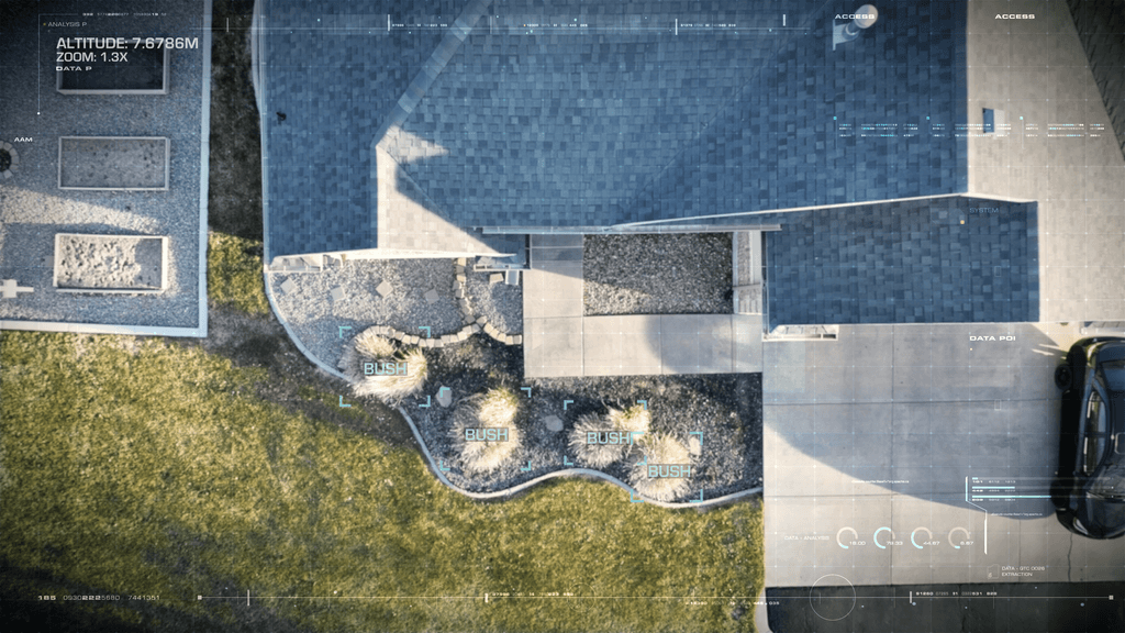
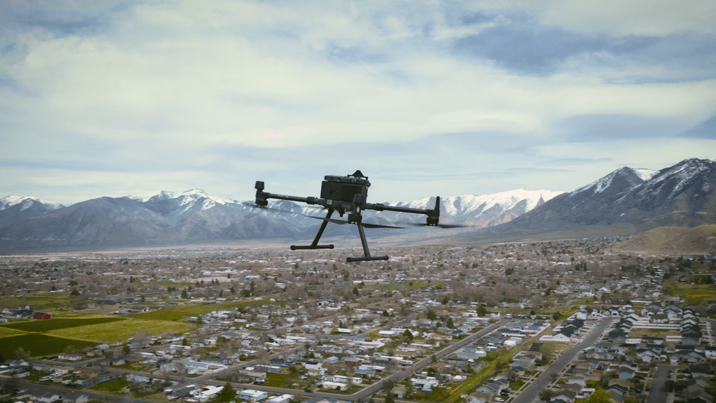
Aerial view of a residential property from a drone
LiDAR mapping  ·  Volunteer program

Help Build the Future of Drone Delivery

A quick LiDAR scan of your yard helps delivery drones land precisely — our thanks is free aerial photography of your property.

Book your free scan

Let us know how to reach you.
Zero cost, zero obligation $2M insured About a 30-minute visit
The mission

Why we're doing this

A licensed pilot simulates a delivery over your yard — flying a survey drone up and down to map the obstacles and safe landing areas Zipline's delivery drones need to arrive fast and land precisely. Your scan has real value — so our thanks is a set of professional aerial photos of your property, yours to keep.
2M+ Zipline deliveries worldwide
~1,000 yards mapped & expanding internationally
In partnership with

The world's largest drone delivery company
Scan data maps delivery routes — never resold.
Three steps · ~30 minutes

How it works

01 Schedule Speak directly with a pilot and pick a 30-minute window.
02 Quick Flight A licensed pilot flies a survey drone up and down over your yard, simulating a delivery to map the safe landing areas and obstacles — no one needs to be home.
03 Get Your Photos We send you professional aerial photography of your property.
A survey drone simulates a delivery — a pilot stays on-site.
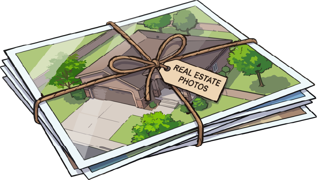
Illustration: a twine-tied bundle of printed aerial photos tagged Real Estate Photos
Your thank-you

Free professional aerial photos — yours to keep

No cash, no gift card, no catch. In exchange for a few minutes of flight time over your yard, you get a polished set of aerial photography of your home — the kind homeowners pay hundreds for.

No cost, no catch — we handle everything
Volunteer sign-up

Ready? Book your free scan

Free aerial photos of your property — we handle everything, and it takes about 60 seconds
FAA Part 107 licensed $2M insured Volunteer — zero obligation
↑  Book your free scan  ↑